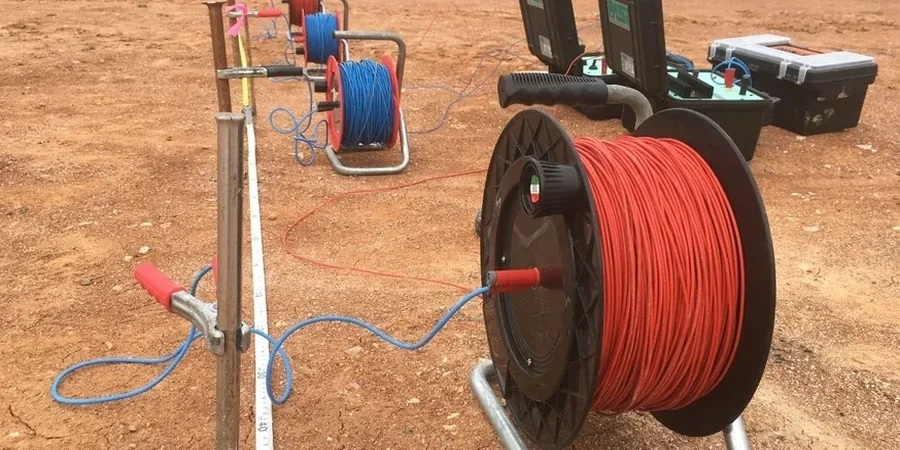
Hartford sits at just over 30 feet above the Connecticut River, and much of the downtown area rests on glacial outwash sands interbedded with varved lake clays deposited by Glacial Lake Hitchcock. These rapid vertical changes in lithology make Vertical Electrical Sounding (VES) a practical first-look tool for mapping depth to bedrock and distinguishing saturated sand lenses from soft, electrically conductive clay layers. We deploy Schlumberger arrays with electrode spacings reaching 200 meters or more, generating resistivity profiles that help engineers plan boring locations more efficiently. Where the City of Hartford requires geotechnical data ahead of foundation design, footings benefit from a combined resistivity and SPT approach to correlate geophysical boundaries with actual blow counts. For projects along the Park River conduit or near the historic Colt complex, we adjust acquisition parameters to avoid buried utilities and reinforced concrete, ensuring the VES data reflects native stratigraphy rather than cultural noise.
A well-calibrated VES survey in Hartford can resolve the Brownstone bedrock surface to within 5% of depth when tied to a single borehole control point.
Site-specific factors
Comparing the North End, underlain by thick glaciolacustrine clays, with the West End, where till and shallow bedrock dominate, illustrates the risk of extrapolating subsurface conditions without geophysical data. In the North End, resistivity values below 20 Ω·m signal compressible clays that can produce differential settlement beneath shallow footings; missing these layers leads to costly underpinning later. Over in the West End, a sharp resistivity increase at less than 15 feet depth indicates bedrock that may require rock excavation or blasting—a budget item that catches developers off guard when VES data is absent. Hartford's variable fill history adds another layer: abandoned foundations, buried storage tanks, and old river-channel deposits create localized conductive anomalies that a CPT test alone may not fully characterize, making resistivity an efficient screening tool before intrusive investigation begins.
Quick answers
How deep can a VES survey reach in Hartford's glacial geology?
With a maximum current-electrode spacing of 200 meters, investigation depth typically reaches 40 to 60 meters in the sand, silt, and clay sequences common to the Hartford area. Actual depth depends on the resistivity contrast between layers; the strong contrast between saturated sediments and the Brownstone bedrock usually produces a clear response at depth.
Can VES locate the water table?
Yes, in favorable conditions. A saturated sand lens shows a marked drop in resistivity compared to dry sand, so the transition from unsaturated to saturated zone often appears as a distinct inflection point on the sounding curve. In clay-rich sections the contrast is less pronounced, and we recommend pairing VES with a piezometer for confirmation.
What does a resistivity survey cost for a typical lot in Hartford?
For a standard single-sounding site with one or two expansion lines, budget between US$620 and US$940. The final cost depends on access constraints, electrode array length, and whether we need to integrate the data with existing boring logs or run additional reciprocal measurements.
How long does it take to get results after the field survey?
Field acquisition for one or two soundings is usually completed in a single day. Data processing, 1D inversion, and report preparation take three to five business days. Rush delivery can be arranged for projects on tight construction schedules.